
Corte d’Ouro. Walking Trail
PR2 LLE - CORTE D’OURO
Circular Route

11,5km
3h
Medium Difficulty
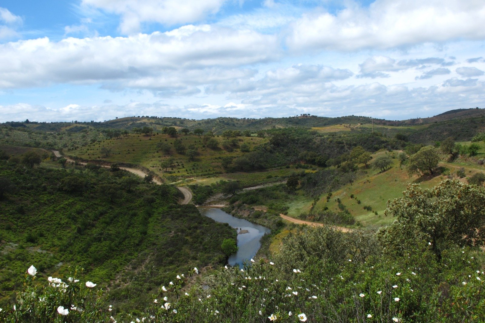
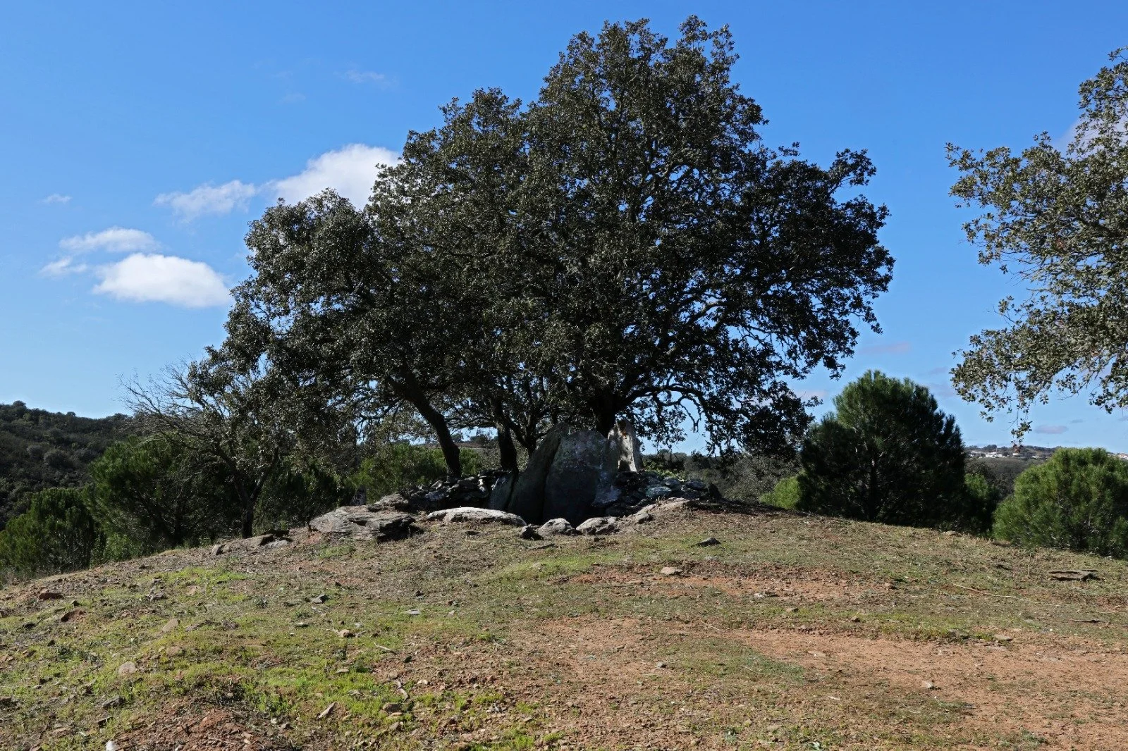
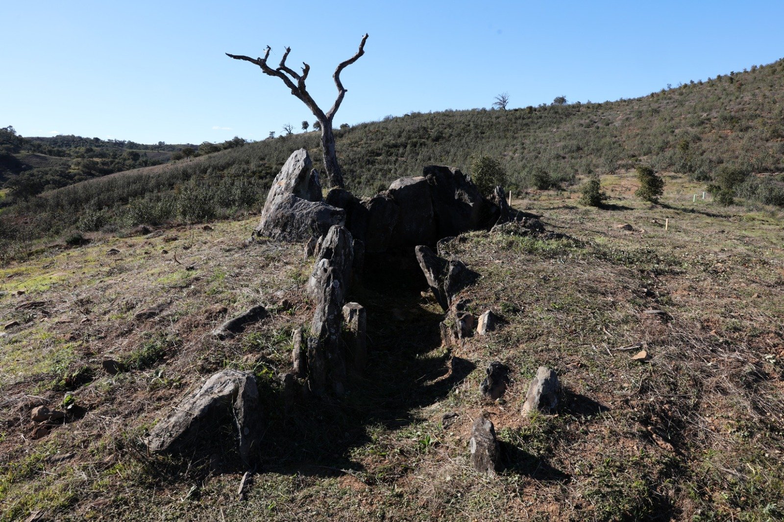
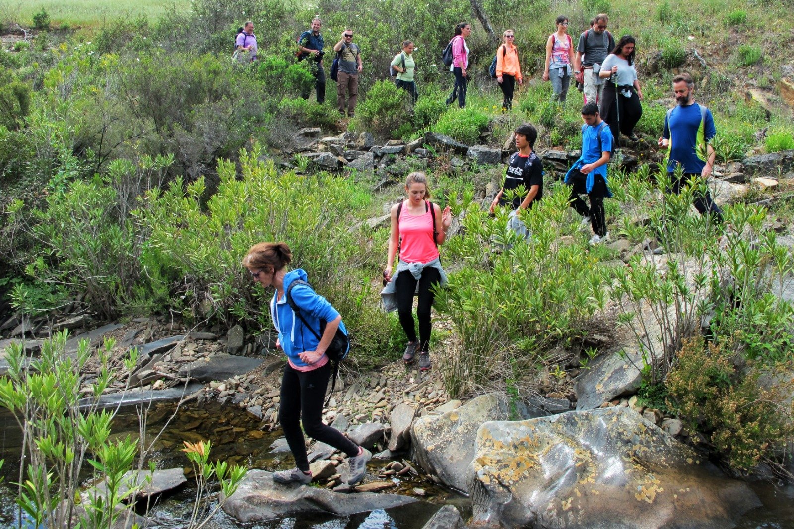
The trail starts next to the old primary school in Corte de Ouro and takes the path to the right after entering the village, which descends to the valley, in a southerly direction. This path joins a wider one and you reach the paved road that leads to Aldeia Nova. You reach a footpath that leads down to the ravine of Pé Corso, you reach the fountain of Pé Corso and the junction with Connection 6 of the Via Algarviana. From this point, turning right, continue south along a path that follows a water line, always along the main path, you reach a crossroads, at which the Anta de Beringel is indicated. A little further on, the trail diverges from the link that turns left and continues straight ahead towards the Ribeira da Corte, following the left bank and crossing it 50 metres further on.
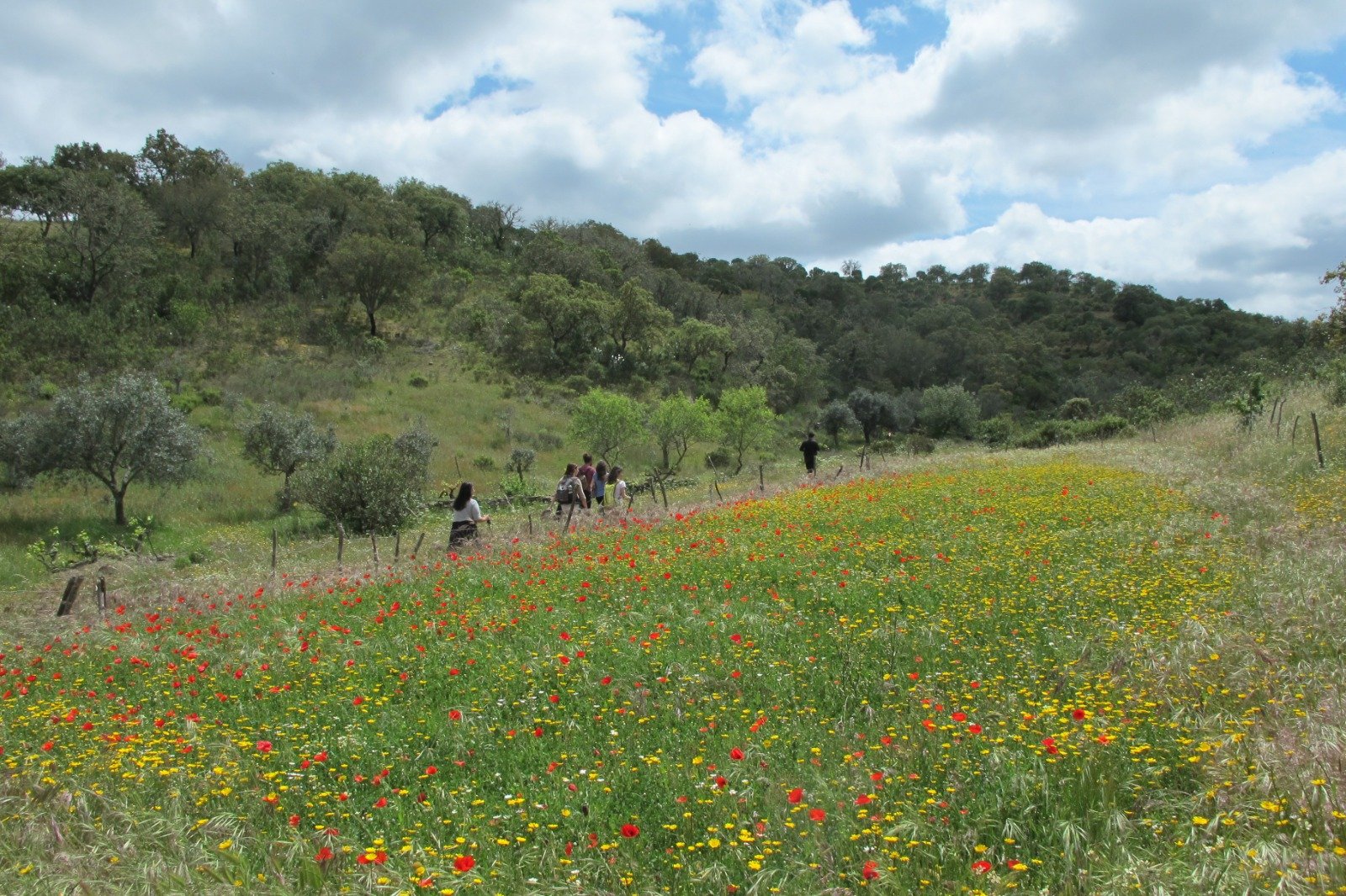
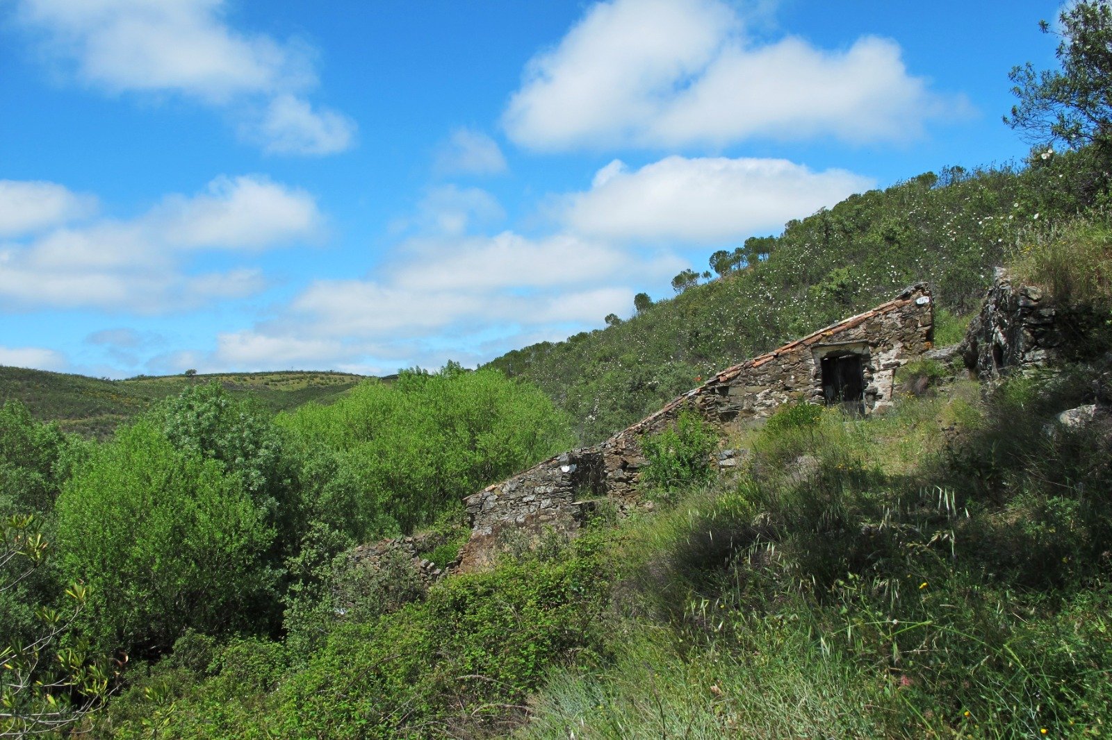
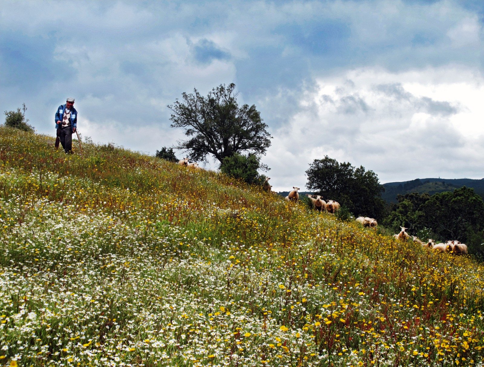
Soon after crossing the river, there is a steep ascent which leads to a crossroads, and you should continue on the left. From this point as far as the Eira da Palha geodesic marker, continue in the middle of eucalyptus trees. When you reach the geodesic marker, situated at 475m, you have a beautiful view over the surrounding region, 50m meters later the path reverses direction, turning left. It passes by an abandoned building and continues along a ridge, which ends in Vale das Hortas. From here the path intersects PR7 LLE-TVR - Vale das Hortas trail. At this hill, it follows the main access road to Corte de Ouro, a wide dirt road. Cross the Ribeira da Corte again, by a track, and 200m ahead you will find a signpost on the right, to the Azenha do Pizão. Back on the main road, you reach the tarmac road that connects Corte de Ouro to Corte João Marques. At this point turn right and after about 250m, in a river valley, turn left to enter a dirt track going up through an area of holm oak forest. At the top, turn left and from there as far as Corte de Ouro, you pass close to several agricultural fields, pastures and, on the arrival in the village, two ruined windmills.
Source: CML trail brochure, 2017
What to see?

Traditional Haystacks, Huts, Windmills, Fonte do Pé Corso (water source), Anta do Beringel (megalithic monument), Azenha do Pizão (water mill).
Where it begins/ends?
Entrance to the village of Corte de Ouro (37º21'9''N 7º55'57''W)
The trail is signposted on the ground
Consult the information leaflet and download the GPX file to follow the route.
Trail Ameixial
Trail Revezes
Trail Azinhal dos Mouros
Trail Cortes D’ Ouro