
Revezes Walking Trail
PR4 LLE - Ameixial

Circular Route
13km
4h/5h
Source: CML trail brochure, 2017
Medium Difficulty
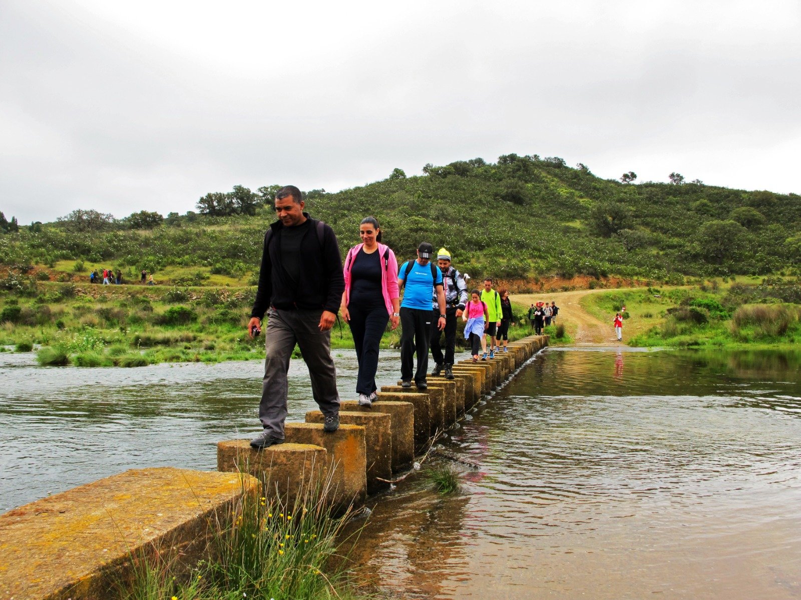
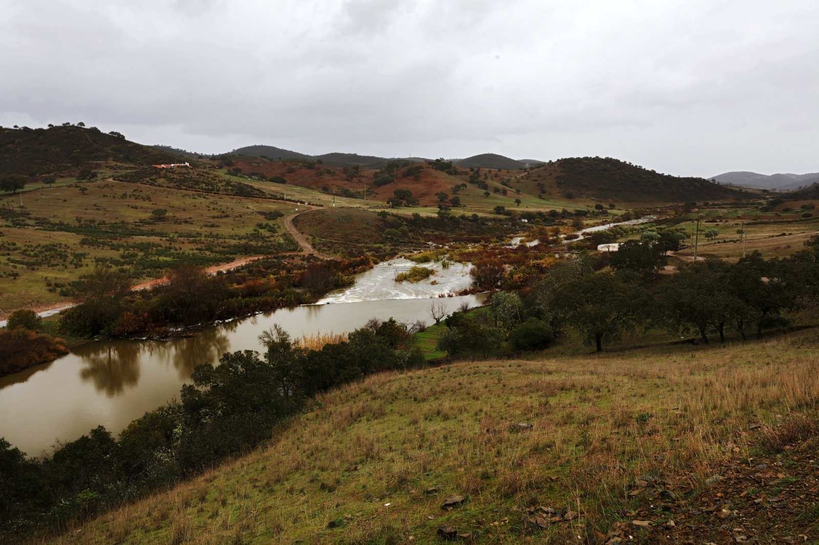
The trail starts in the centre of Revezes, next to the fountain. Continue north until you reach the Ribeira do Vascãozinho. Cross it and continue north of it for a little over 1000m. Cross it again and continue parallel to it in an open landscape until the crossroads that leads to Monte dos Corvos. After about 150m it passes near the first crossroads to Monte Pereirinha, and here the path begins to deviate from the watercourse, approximately to the east. It crosses another access to the hill, crosses a small tributary of the Vascão and reaches a crossroads that leads to the left to Monte Novo da Matosa and Moinho da Cascalheira.
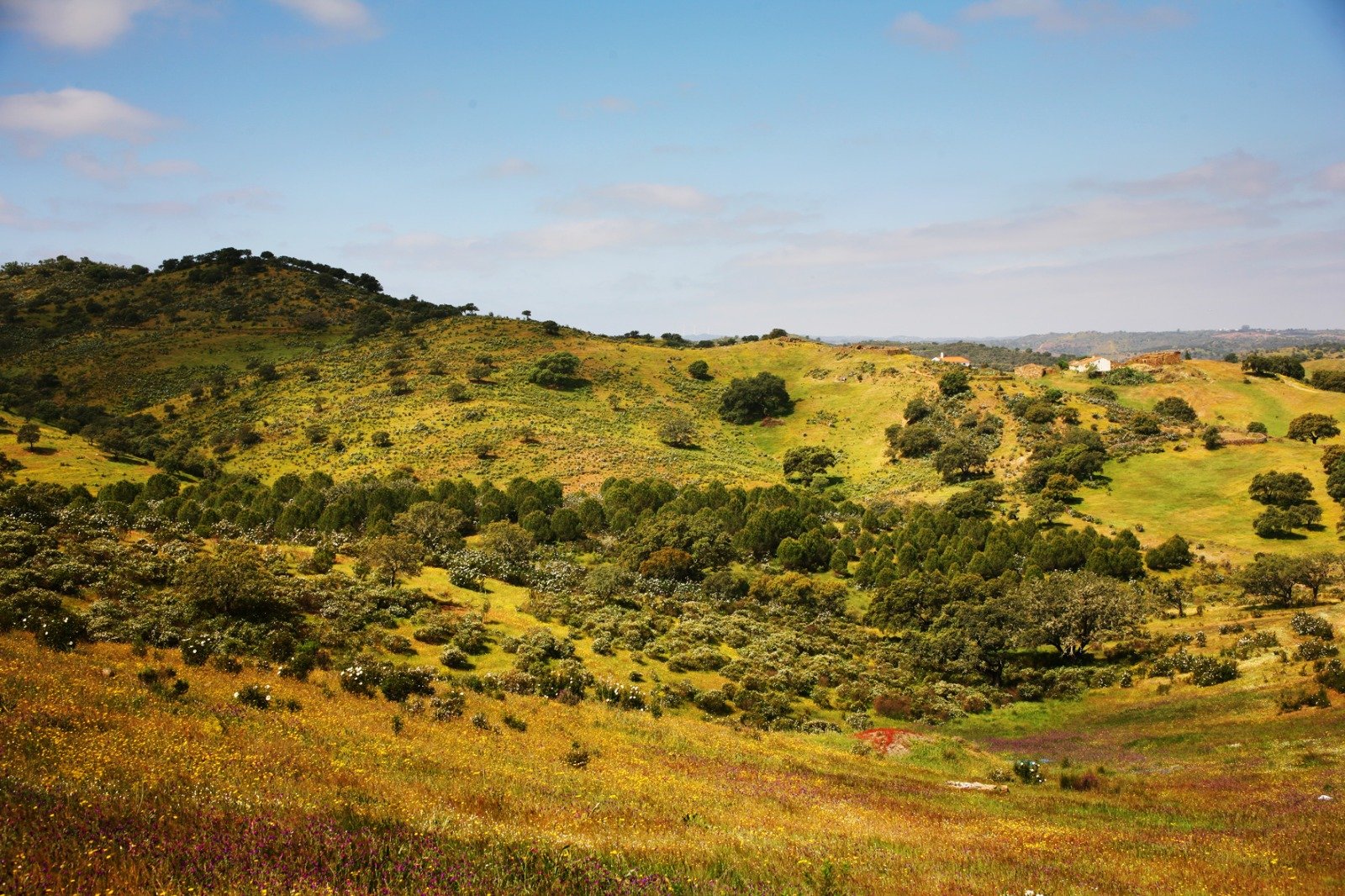
The trail continues to the right, to the south, on a path which gives access to these hills, and continues in the direction of Vale da Moita. Before reaching this hill, there is a steep descent to Barranco da Lontra. From this point it is 2.5km to Vale da Moita, always through a valley with cork oaks, holm oaks and dense cistus. Before reaching this hill, there is a steep descent to Barranco da Lontra. From this point it is 2.5km to Vale da Moita, always through a valley with cork oaks, holm oaks and dense cistus.
At the exit of Vale da Moita, just 150m away, the route deviates from the main path, towards the Southwest, towards Pulo do Lobo, one of the highest points in this region (410m). It flanks it to the south and returns to Ribeira do Vascãozinho, which will continue north, until you find Monte da Palmeira. Here begins a long climb, passing to the right of this mountain and, further on, a lagoon. On the left, you will find the main access road to Revezes and a steep descent that leads to the village.


What to See?
Ribeira do Vascão, Moinho da Cascalheira, Barranco da Lontra, Vale da Moita, Monte da Palmeira.
Where it begins/ends?
Entrance to the village of Revezes (37º23'32''N 7º56'45''W)
Trail Ameixial
Trail Revezes
Trail Azinhal dos Mouros
Trail Cortes D’ Ouro
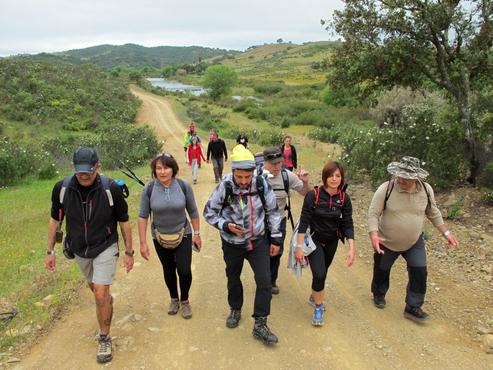
The trail is signposted on the ground
Consult the information leaflet and download the GPX file to follow the route.